4.3. NASA ARSET Webinar
NASA ARSET is a program for fostering the acquisition and use of NASA satellite data for supporting decisions, through online webinars and in-person workshops.
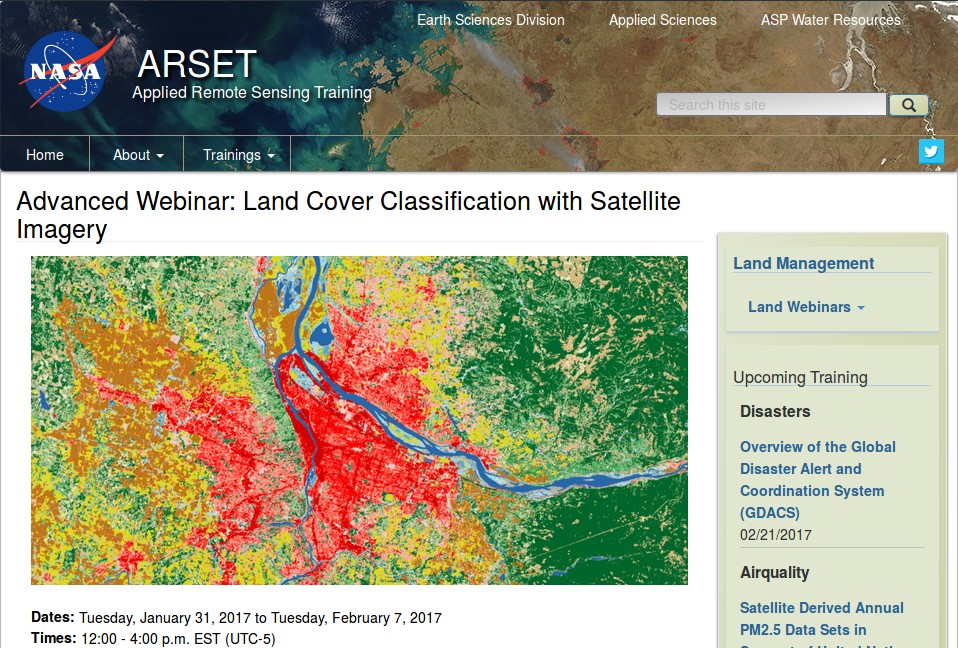
NASA ARSET offered the webinar Land Cover Classification with Satellite Imagery which covered very interesting objectives such as access and download Landsat imagery and learn the basic steps for performing a supervised classifications using the SCP.
NASA ARSET website
This webinar is organized in two sessions:
- Introduction to Land Cover Classification and QGIS
- Improving a Supervised Land Cover Classification
The entire webinar is very informative, and I recommend watching the recordings. In particular, the Land Cover Signature Classification is illustrated during the exercise of the second session.
Slides of presentations, in English and Spanish, and the recordings of both sessions are freely available at this link https://arset.gsfc.nasa.gov/land/webinars/advanced-land-classification.
Many thanks to NASA ARSET for their effort in teaching remote sensing using open source software.